

Micasense DLS 2 Downwelling Light Sensor (DLS2) for RedEdge & Altum
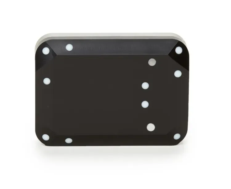
The MicaSense DLS 2 is an advanced downwelling light sensor designed to integrate seamlessly with RedEdge and Altum multispectral cameras for highly accurate aerial mapping. It measures ambient light conditions during flight to ensure precise radiometric calibration and consistent data collection.
Key Features
- Advanced light measurement technology for improved radiometric calibration in varying weather conditions
- Integrated GPS and IMU for precise geotagging and orientation data of captured imagery
- Hemispherical sensor design to accurately capture downwelling light from all angles
- Compact and lightweight construction ensuring minimal impact on drone flight times
- Seamless compatibility with MicaSense RedEdge and Altum multispectral imaging systems
By continuously recording light levels, this sensor allows researchers and agricultural professionals to obtain reliable, comparable data across different times and dates. Enhance your drone mapping capabilities with this essential calibration tool for professional multispectral analysis.
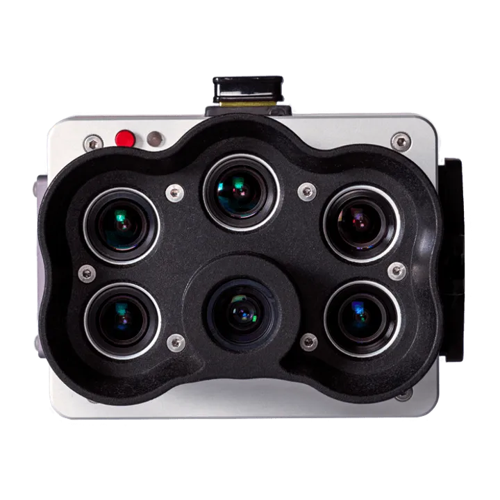
Brand: MicaSense |
Code: 805-00017
APN: 9319499258535 |
Supplier Code: 006-00017

Brand: MicaSense |
Code: 805-00017
APN: 9319499258535 |
Supplier Code: 006-00017
At a glance
The MicaSense DLS 2 is an advanced downwelling light sensor designed to integrate seamlessly with RedEdge and Altum multispectral cameras for highly accurate aerial mapping. It measures ambient light conditions during flight to ensure precise radiometric calibration and consistent data collection.
Key Features
- Advanced light measurement technology for improved radiometric calibration in varying weather conditions
- Integrated GPS and IMU for precise geotagging and orientation data of captured imagery
- Hemispherical sensor design to accurately capture downwelling light from all angles
- Compact and lightweight construction ensuring minimal impact on drone flight times
- Seamless compatibility with MicaSense RedEdge and Altum multispectral imaging systems
By continuously recording light levels, this sensor allows researchers and agricultural professionals to obtain reliable, comparable data across different times and dates. Enhance your drone mapping capabilities with this essential calibration tool for professional multispectral analysis.
