

DJI Zenmuse L3 LiDAR - Includes Care Plus
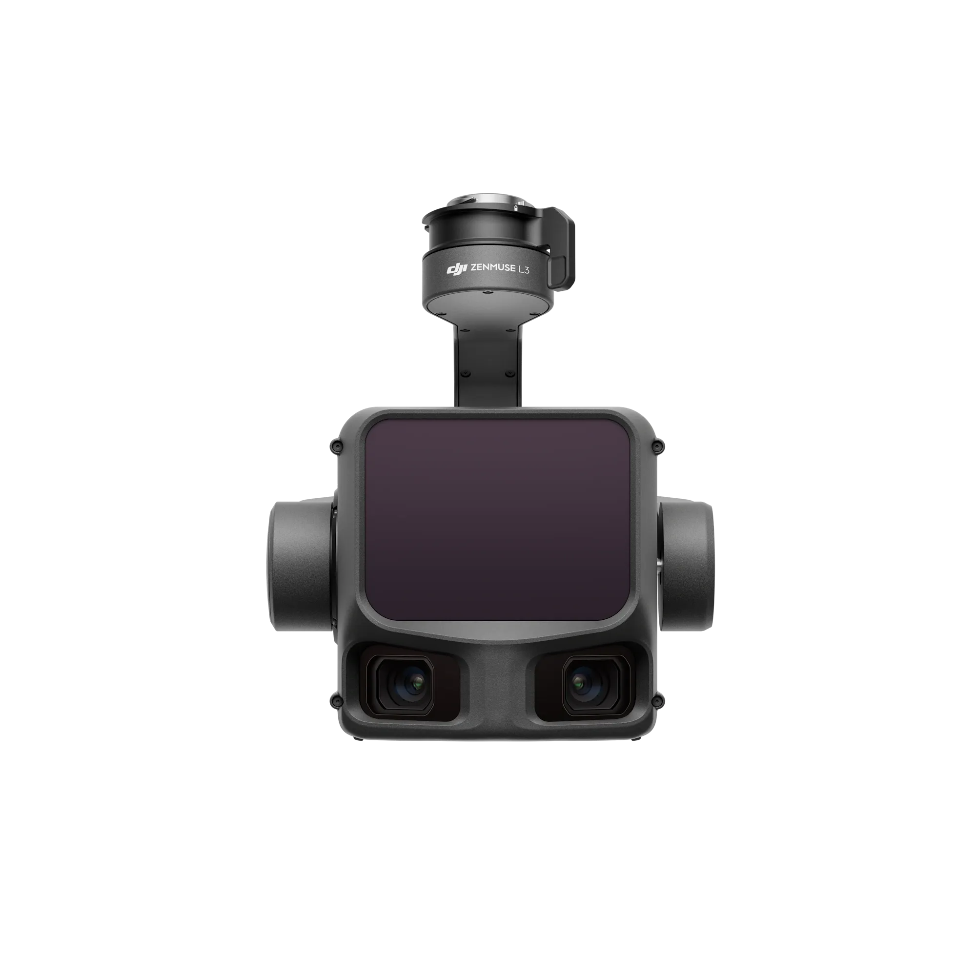
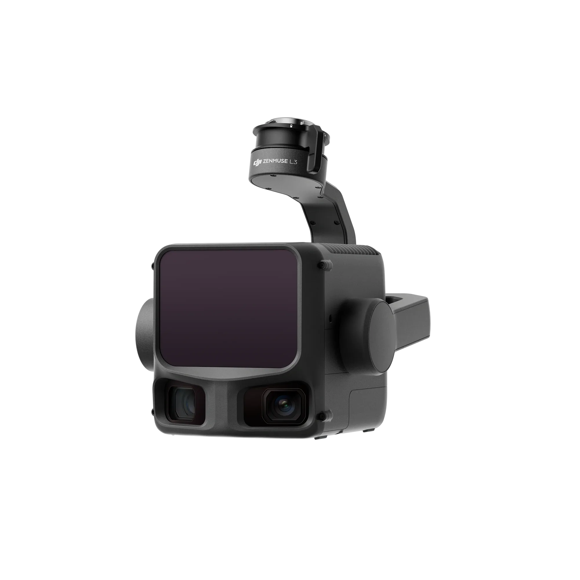
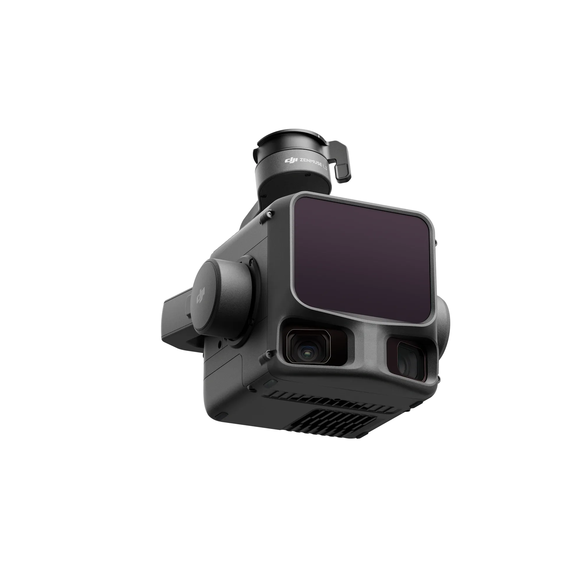
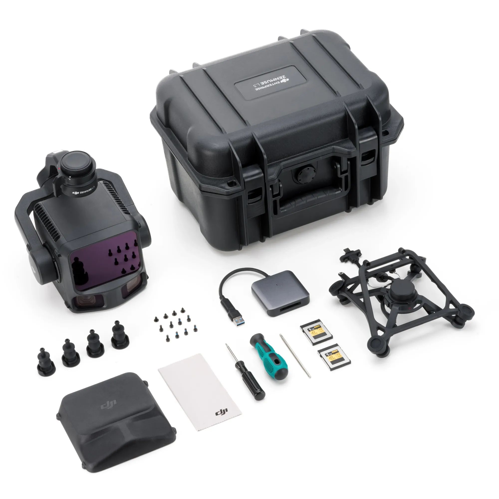
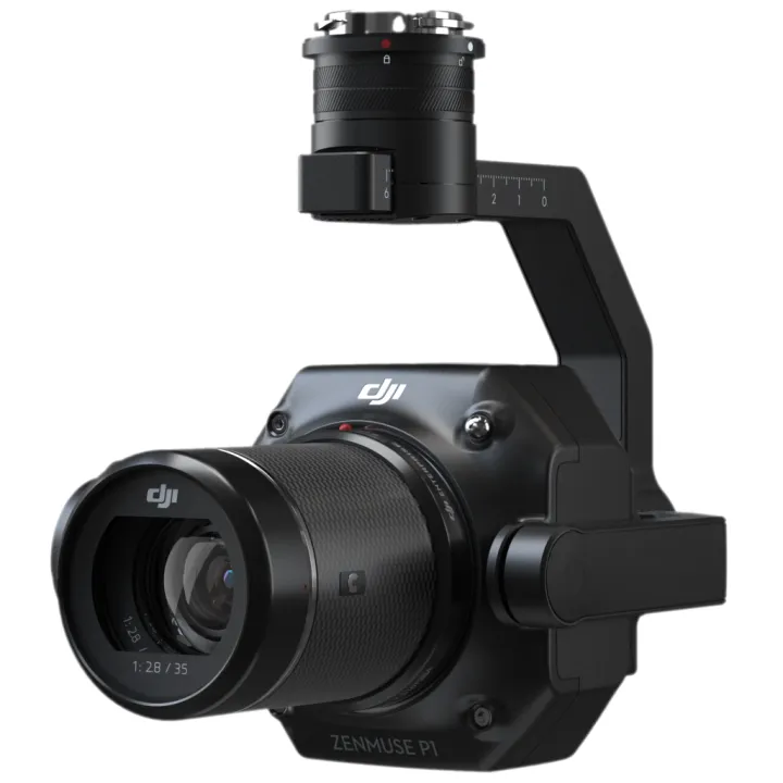
The DJI Zenmuse L3 LiDAR offers a highly efficient and precise aerial surveying solution, combining advanced LiDAR technology with seamless drone integration. This comprehensive package includes DJI Care Plus, ensuring your investment is fully protected against accidental damage during demanding operations.
Key Features
- Integrated high-precision LiDAR sensor for detailed 3D point cloud generation.
- Includes DJI Care Plus for comprehensive damage coverage and peace of mind.
- Optimised for seamless compatibility with DJI enterprise drone platforms.
- Delivers exceptional efficiency and accuracy for mapping and surveying professionals.
With its robust design and reliable performance, this payload is the ideal choice for geospatial workflows and infrastructure inspection. Maximise your operational uptime and data quality with this industry-leading aerial mapping solution.
Long Range, Wide Coverage
Zenmuse L3 achieves a maximum detection range of 950m at a pulse rate of 100 kHz, tested under 100 klx ambient light and on objects with 10% reflectivity. The adjustable pulse rate allows for flexible power output and optimal adaptation to different operational scenarios. Typical flight altitudes of 300 to 500 m significantly expand single-flight coverage and boost mapping efficiency.
Small Spot, High Energy
With a laser beam divergence of just 0.25 mrad (1/e²), the spot size at the same range is about one-fifth that of Zenmuse L2, enabling detection of smaller objects such as power lines and branches. Higher energy density results in stronger penetration capability, significantly increasing ground point density beneath vegetation and enabling high-accuracy reconstruction of complex terrains and structures.
High Pulse Rate, Multiple Returns
With maximum laser pulse emission frequency of 2 million pulses per second and support for up to 16 returns, Zenmuse L3 delivers highly accurate spatial reconstruction. Point cloud density and penetration capability can be adjusted to fit needs from high-accuracy mapping to complex environments.
Scanning Modes
Supports Linear, Star-Shaped, and Non-Repetitive scanning modes for different operational scenarios:
Linear: Achieves more consistent point cloud distribution, ideal for high-accuracy terrain mapping.
Star-Shaped: Balances accuracy with multiple scan angles and penetration capability, well-suited for forests or dense urban environments.
Non-Repetitive: Provides multiple scan angles and broader coverage, optimized for power line inspections and other complex structural surveys.
LiDAR Data Accuracy
Vertical accuracy is better than 3 cm at 120m altitude, better than 5 cm at 300 m, and better than 10 cm at 500m, easily supporting mapping projects at 1:500, 1:1000, and 1:2000 scales. The point cloud thickness produced by Zenmuse L3 is only half that of Zenmuse L2, supporting advanced analysis and high-accuracy applications.
Photogrammetric Accuracy
With dual 100MP RGB mapping cameras, Zenmuse L3 achieves a ground sample distance (GSD) of 3 cm even at a 300m flight altitude. Real-time position synchronization enables operation without ground control points (GCPs), ensuring high-quality imagery for precise mapping.
| Product Manuals | |
|---|---|
| DJI Zenmuse L3 LiDAR - Includes Care Plus - Product Manual |

"Best prices guaranteed! We’ll match or beat any legitimate prices."
Read the CASA Drone regulations @ knowyourdrone.gov.au
Brand: DJI |
Code: DJIZENMUSEL3
APN: 6937224133778 |
Supplier Code: CB.202510103615

Brand: DJI |
Code: DJIZENMUSEL3
APN: 6937224133778 |
Supplier Code: CB.202510103615
At a glance
The DJI Zenmuse L3 LiDAR offers a highly efficient and precise aerial surveying solution, combining advanced LiDAR technology with seamless drone integration. This comprehensive package includes DJI Care Plus, ensuring your investment is fully protected against accidental damage during demanding operations.
Key Features
- Integrated high-precision LiDAR sensor for detailed 3D point cloud generation.
- Includes DJI Care Plus for comprehensive damage coverage and peace of mind.
- Optimised for seamless compatibility with DJI enterprise drone platforms.
- Delivers exceptional efficiency and accuracy for mapping and surveying professionals.
With its robust design and reliable performance, this payload is the ideal choice for geospatial workflows and infrastructure inspection. Maximise your operational uptime and data quality with this industry-leading aerial mapping solution.
"Best prices guaranteed! We’ll match or beat any legitimate prices."
Read the CASA Drone regulations @ knowyourdrone.gov.au
