

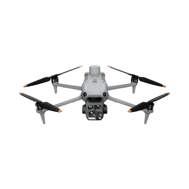
DJI Matrice 4 Enterprise Survey Package
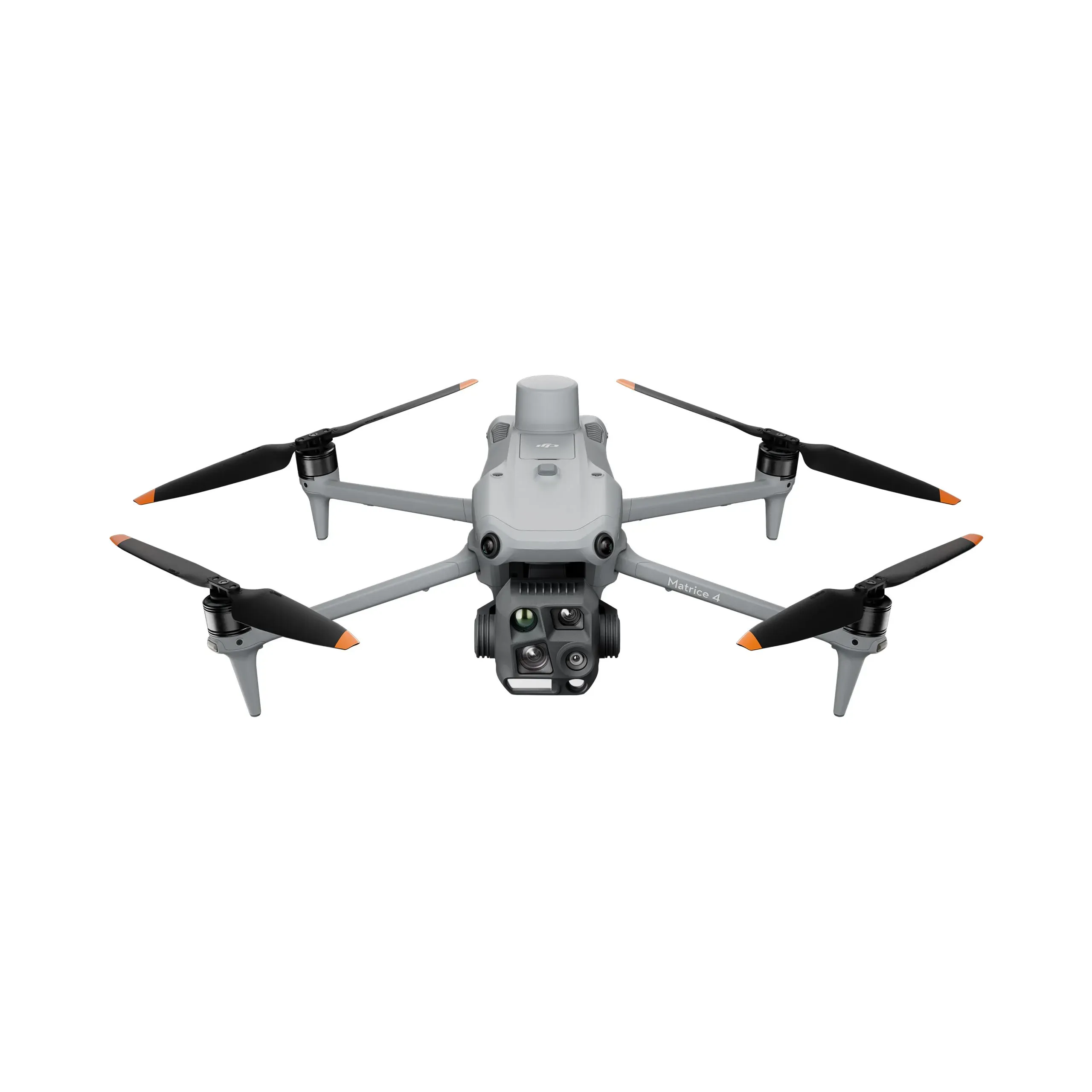
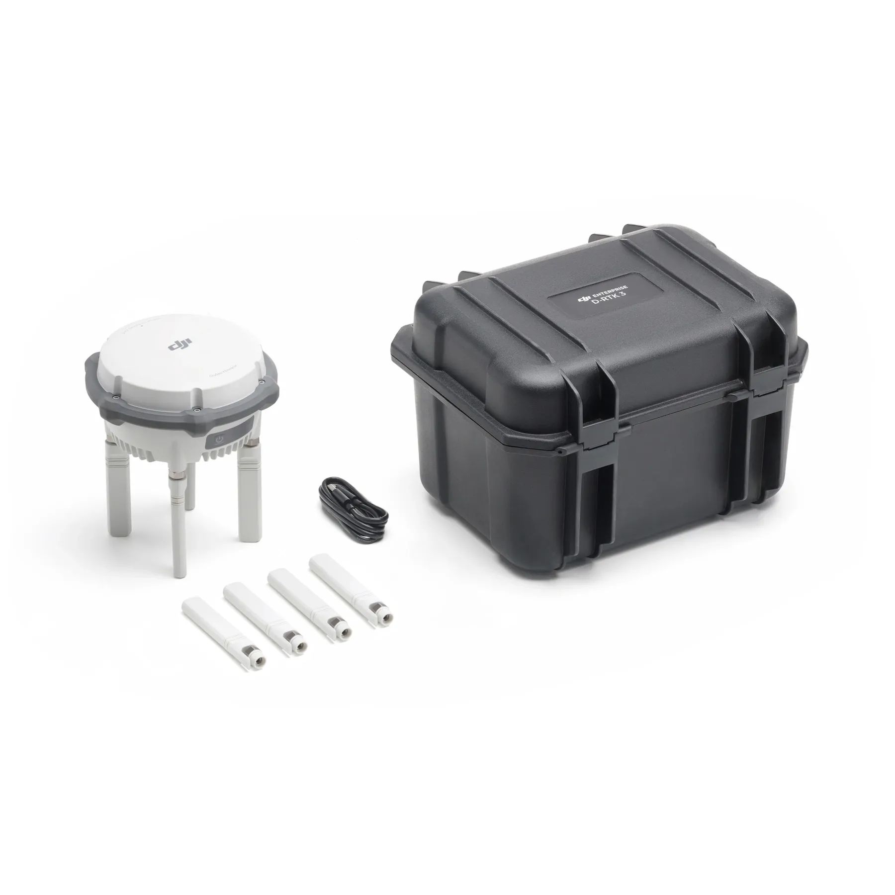
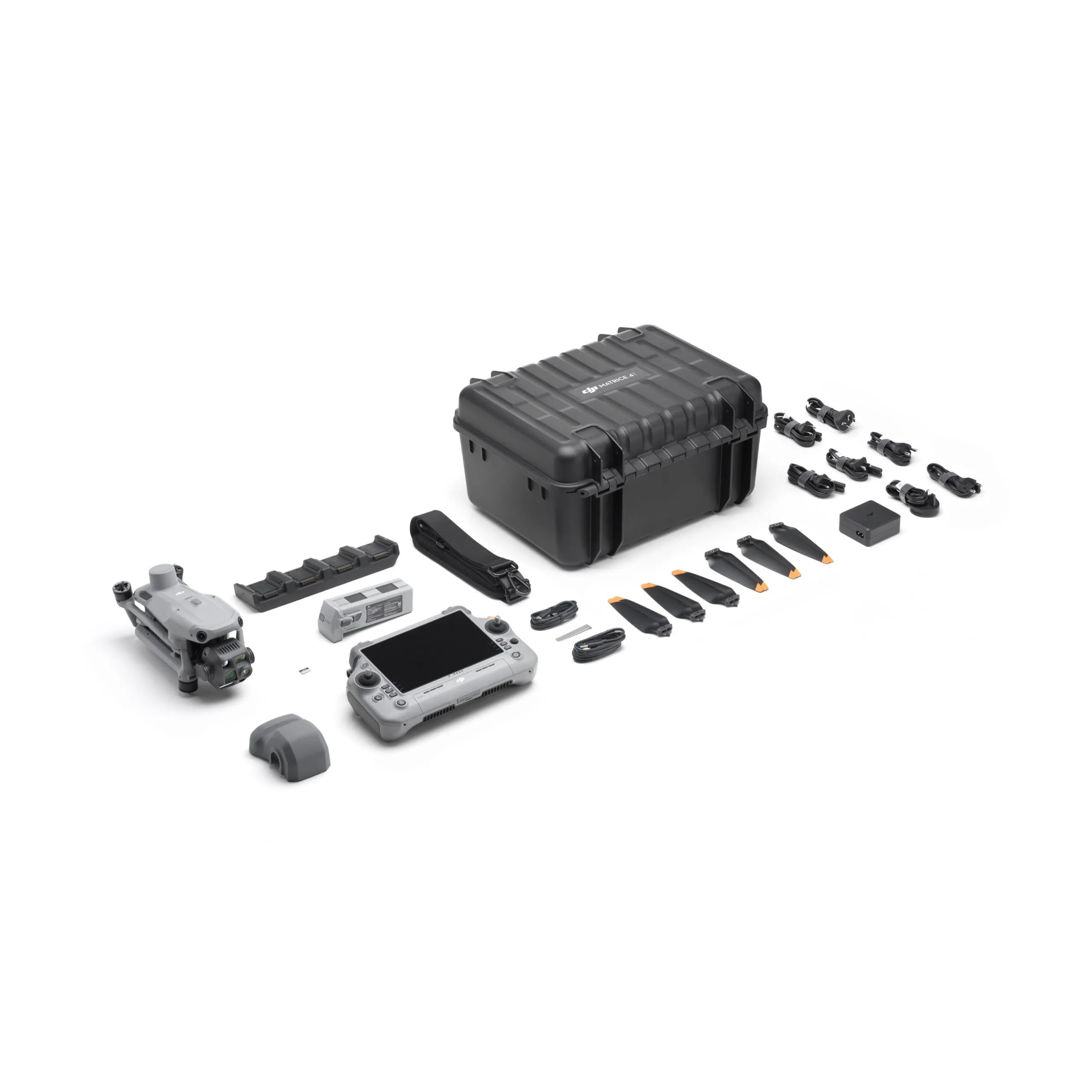
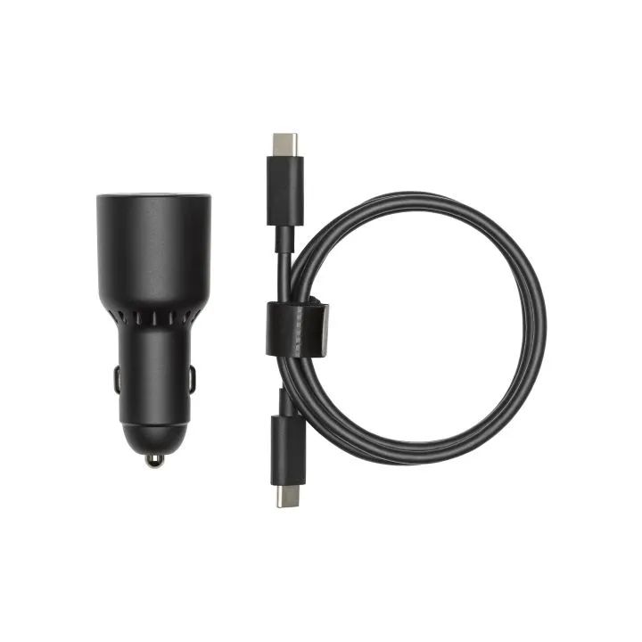
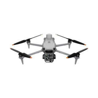
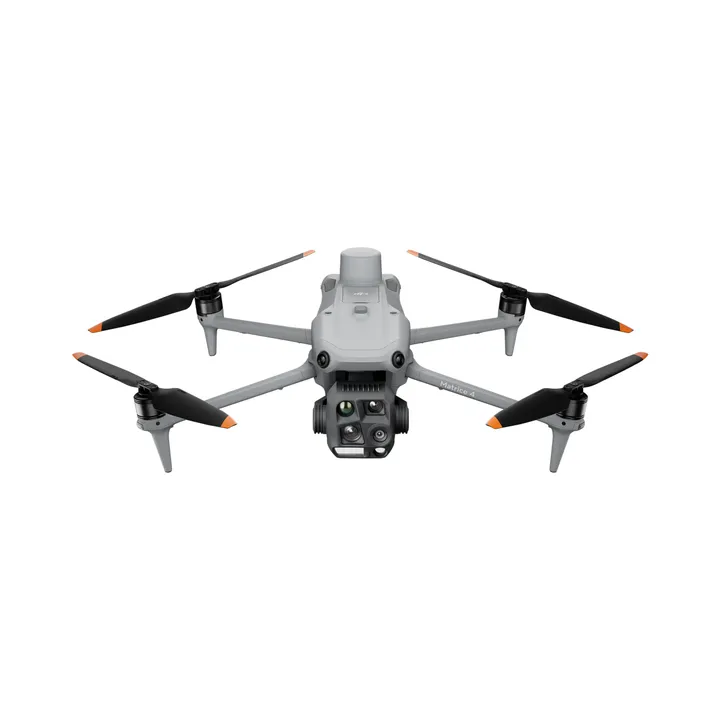
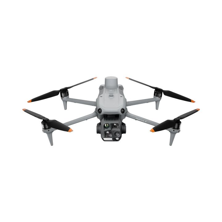
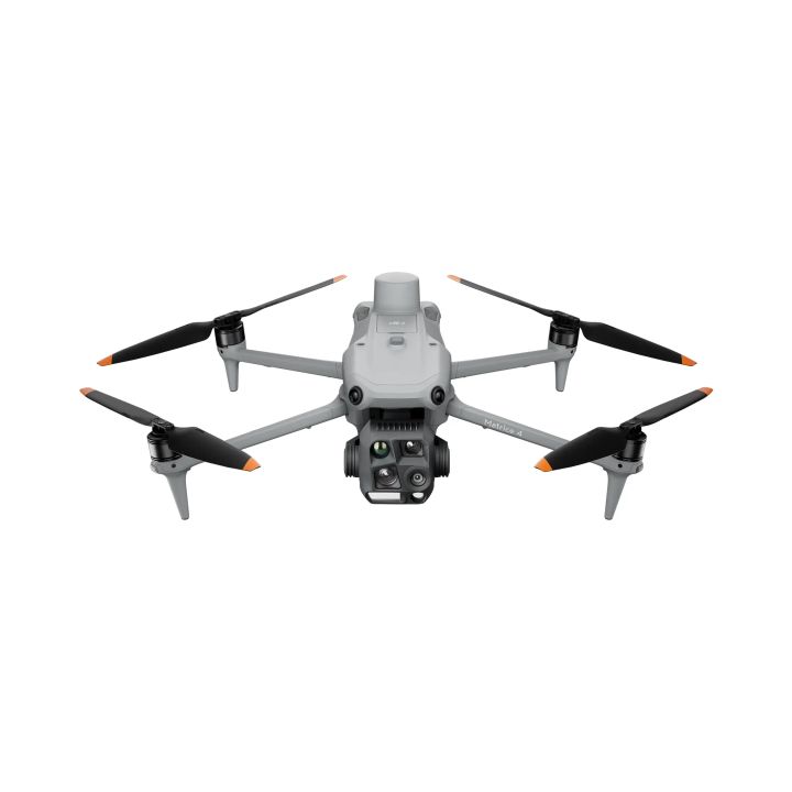
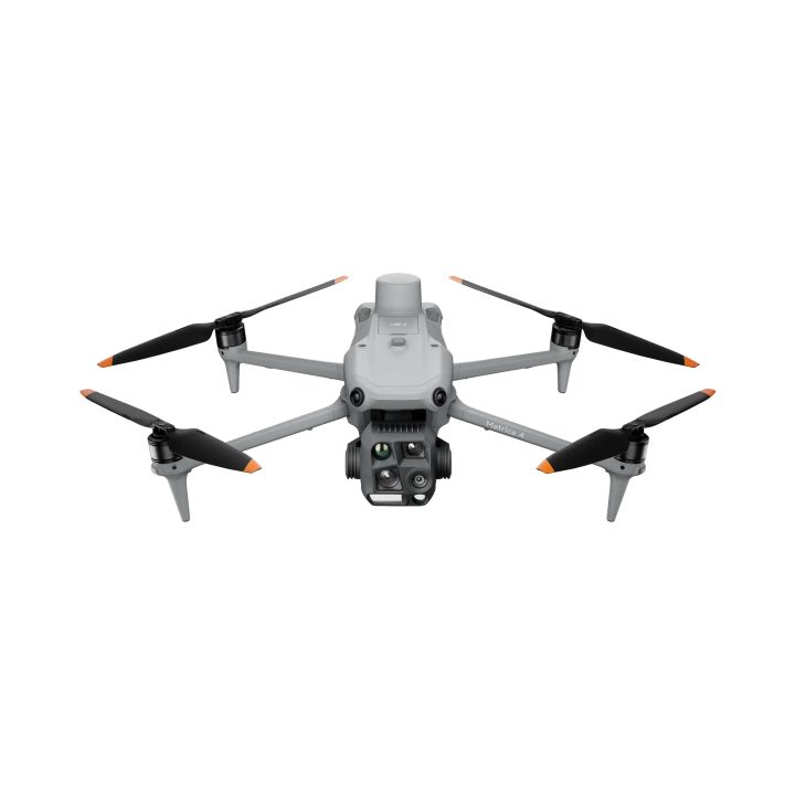
The DJI Matrice 4 Enterprise Survey Package is a commercial-grade aerial mapping solution designed to deliver high-precision data for surveying and geospatial professionals. This comprehensive package features the advanced DJI Matrice 4 Enterprise platform, complete with DJI Care Enterprise Plus for comprehensive coverage and peace of mind.



Intelligent Operations With AI
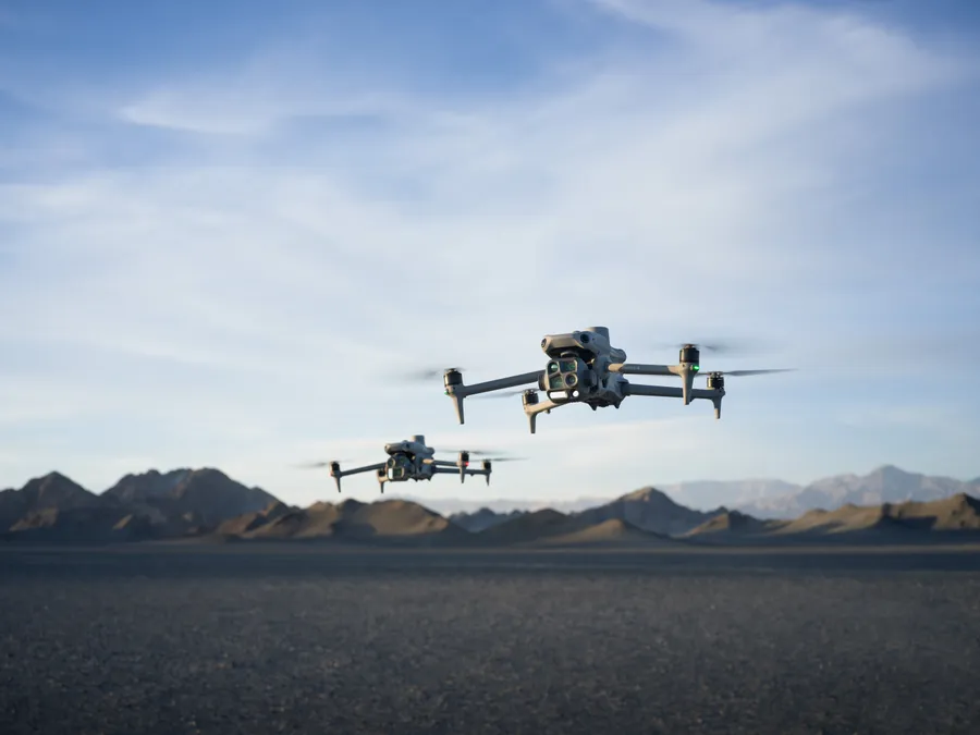
DJI Matrice 4 Series offers real-time AI detection of people, vehicles, and boats, featuring intelligent capabilities like FlyTo, POI, Smart Track, and Cruise, along with advanced tools such as Observed View, Line & Area Drawing with LRF.
Precision Mapping
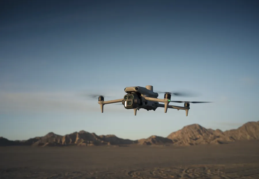
The DJI Matrice 4E features a factory-calibrated mapping camera with Distortion Correction 2.0, 3-Directional Ortho Capture covering 2.8km² in a single flight, and 5-Directional Oblique Capture with 40% improved efficiency.
Elevated Flight Safety
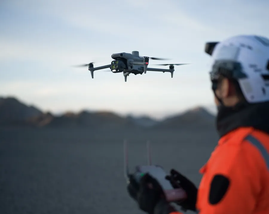
DJI M4 Series features a built-in RTK module with extended L5 frequency and low-light fisheye vision sensors. It also includes automatic RTH path planning, preloaded obstacle data, and detailed maps/models for enhanced operational efficiency.
| Takeoff Weight (with propellers) | 1219g |
| Max Payload | 200g |
| Propeller Size | 10.8" |
| Diagonal Wheelbase | 438.8 mm |
| Max Ascent Speed | 10 m/s |
| Max Descent Speed | 8 m/s |
| Max Horizontal Speed | 21 m/s |
| Max Altitude | 6000m |
| Max Flight Time | 49 min (standard propellers) |
| Max Hover Time (without wind) | 42 min (standard propellers) |
| Max Wind Speed Resistance | 12 m/s |
| Max Pitch Angle | 35° |
| Operating Temperature | -10℃ to 40℃ |
| GNSS | GPS + Galileo + BeiDou + GLONASS |
| Hovering Accuracy Range | ±0.1 m (with Vision System); ±0.5 m (with GNSS); ±0.1 m (with RTK) |
| RTK GNSS Accuracy | 1 cm + 1 ppm (horizontal), 1.5 cm + 1 ppm (vertical) |
| Beacon | Built into the aircraft |
| Camera | |
| Image Sensor | Wide: 4/3-inch CMOS Effective Pixels: 20 MP Medium: 1/1.3-inch CMOS, Effective Pixels: 48 MP Telephoto: 1/1.5-inch CMOS, Effective Pixels: 48 MP |
| Lens | Wide: FOV: 84° Equivalent Focal Length: 24 mm Aperture: f/2.8-f/11 Focus: 1 m to ∞ Medium Tele Camera FOV: 35° Equivalent Focal Length: 70 mm Aperture: f/2.8 Focus: 3 m to ∞ Tele camera FOV: 15° Equivalent Focal Length: 168 mm Aperture: f/2.8 Focus: 3 m to ∞ |
| Laser Rangefinder | |
| Measurement Range: | 1800 m (1 Hz) @20% reflectivity target |
| Distance Measurement Accuracy | 1-3 m: System Error <0.3 m, Random Error <0.1 meters @1σ Other Distances: ±(0.2+0.0015D) (D represents the measurement distance in meters) |
"Best prices guaranteed! We’ll match or beat any legitimate prices."
Read the CASA Drone regulations @ knowyourdrone.gov.au
Brand: DJI |
Code: DJIM4EKIT2

Brand: DJI |
Code: DJIM4EKIT2
At a glance
The DJI Matrice 4 Enterprise Survey Package is a commercial-grade aerial mapping solution designed to deliver high-precision data for surveying and geospatial professionals. This comprehensive package features the advanced DJI Matrice 4 Enterprise platform, complete with DJI Care Enterprise Plus for comprehensive coverage and peace of mind.
"Best prices guaranteed! We’ll match or beat any legitimate prices."
Read the CASA Drone regulations @ knowyourdrone.gov.au
Intelligent Operations With AIDJI Matrice 4 Series offers real-time AI detection of people, vehicles, and boats, featuring intelligent capabilities like FlyTo, POI, Smart Track, and Cruise, along with advanced tools such as Observed View, Line & Area Drawing with LRF. |
|
|
|
Precision MappingThe DJI Matrice 4E features a factory-calibrated mapping camera with Distortion Correction 2.0, 3-Directional Ortho Capture covering 2.8km² in a single flight, and 5-Directional Oblique Capture with 40% improved efficiency. |
Elevated Flight SafetyDJI M4 Series features a built-in RTK module with extended L5 frequency and low-light fisheye vision sensors. It also includes automatic RTH path planning, preloaded obstacle data, and detailed maps/models for enhanced operational efficiency. |
|
